


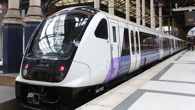
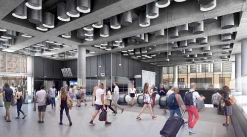
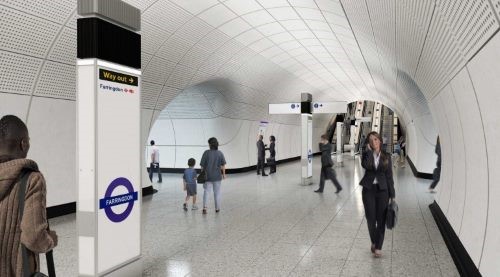
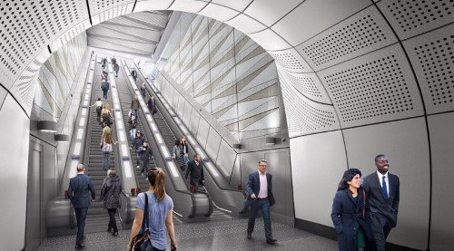
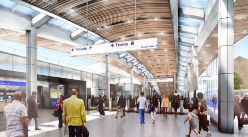

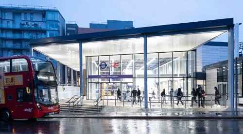
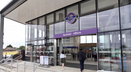
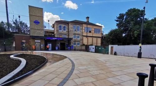
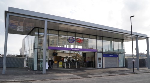

From improving journey times across London, to easing congestion and offering better connections, the Elizabeth line will provide easier, quicker and more direct travel across the capital.
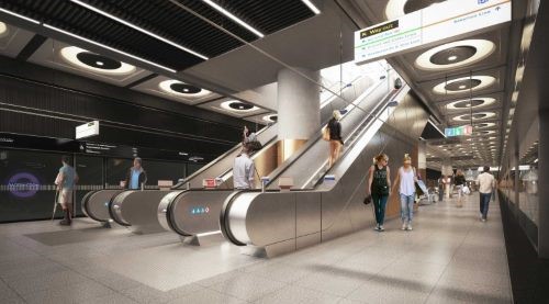
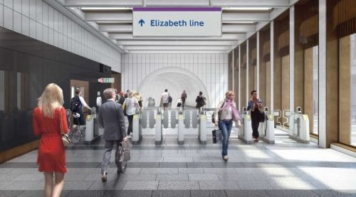
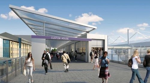
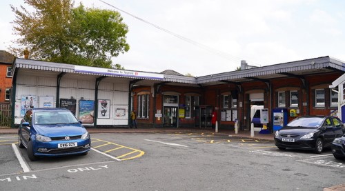
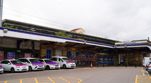
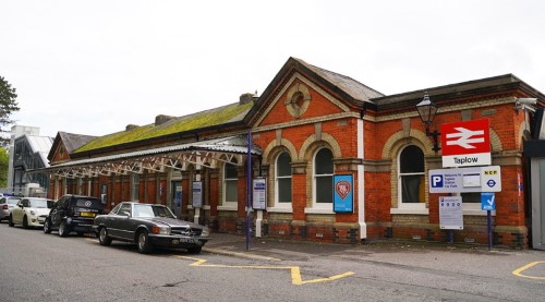
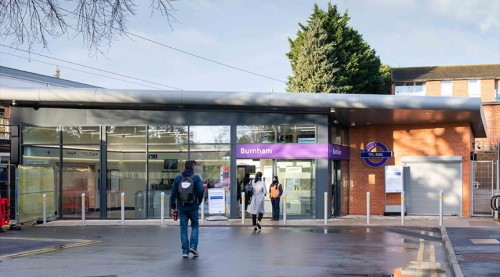
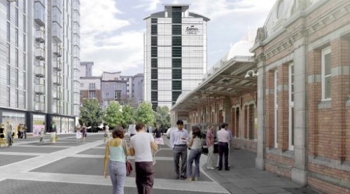
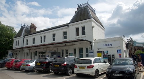
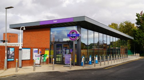
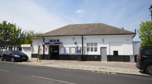
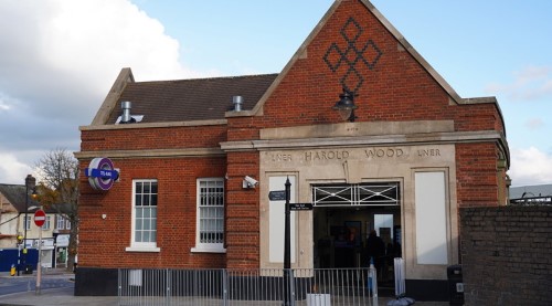
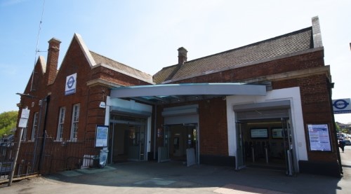
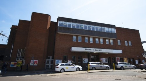
Explore the full line from Reading to Shenfield, and Paddington to Heathrow and Abbey Wood. Discover the new and improved station buildings along the way, realised in 3D and set within the context of the wider tube and overground network.
This site was
built on Explore
and is actively maintained by
Deetu.
To find out more, please
get in touch.

Key to Lines and Symbols
| Bakerloo | |
| Central | |
| Circle | |
| District | |
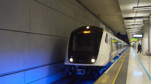
| Elizabeth | |
| Hammersmith & City | |
| Jubilee | |
| Metropolitan | |
| Northern | |
| Piccadilly | |
| Victoria | |
| Waterloo & City | |
| DLR | |
| Overground |
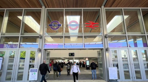
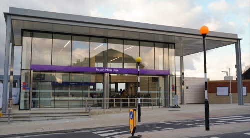
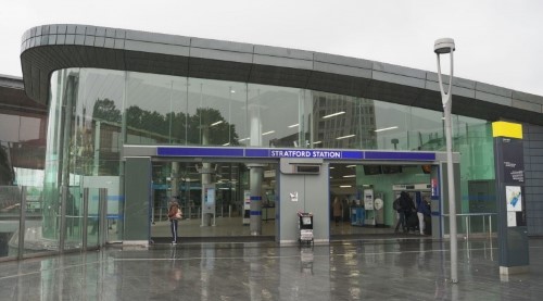
Elizabeth Line station
Step-free from street to platform
Step-free access from street to train

National Rail connection

Airport
Using the map
Explore the Elizabeth Line by clicking the arrow buttons in the story menu
As you arrive at each station, click the map marker to bring
up key connections and accessibility info about that station.
Want to get your bearings? You can toggle the tube, overground
and DLR lines on and off in the main menu

Refresh your memory of London's tube network with the map key.
Learn more about Crossrail proposals for each section of
the line by activating the plans in the main menu and clicking on
the highlighted areas on the map.
Finished reading? Our story is fully interactive - pan, zoom
and tilt the map to fully explore the Elizabeth Line.
Explore the Elizabeth Line by scrolling the story
menu
As you arrive at each station, click the map marker
to bring up key connections and accessibility info about that station.
Want to get your bearings? You can toggle the tube, overground
and DLR lines on and off in the main menu
Refresh your memory of London's tube network with the map key.
Learn more about Crossrail proposals for each section of
the line by activating the plans in the menu and clicking on
the highlighted areas on the map.
Finished reading? Our story is fully interactive - pan, zoom
and tilt the map to fully explore the Elizabeth Line.